Thomas Breen photo
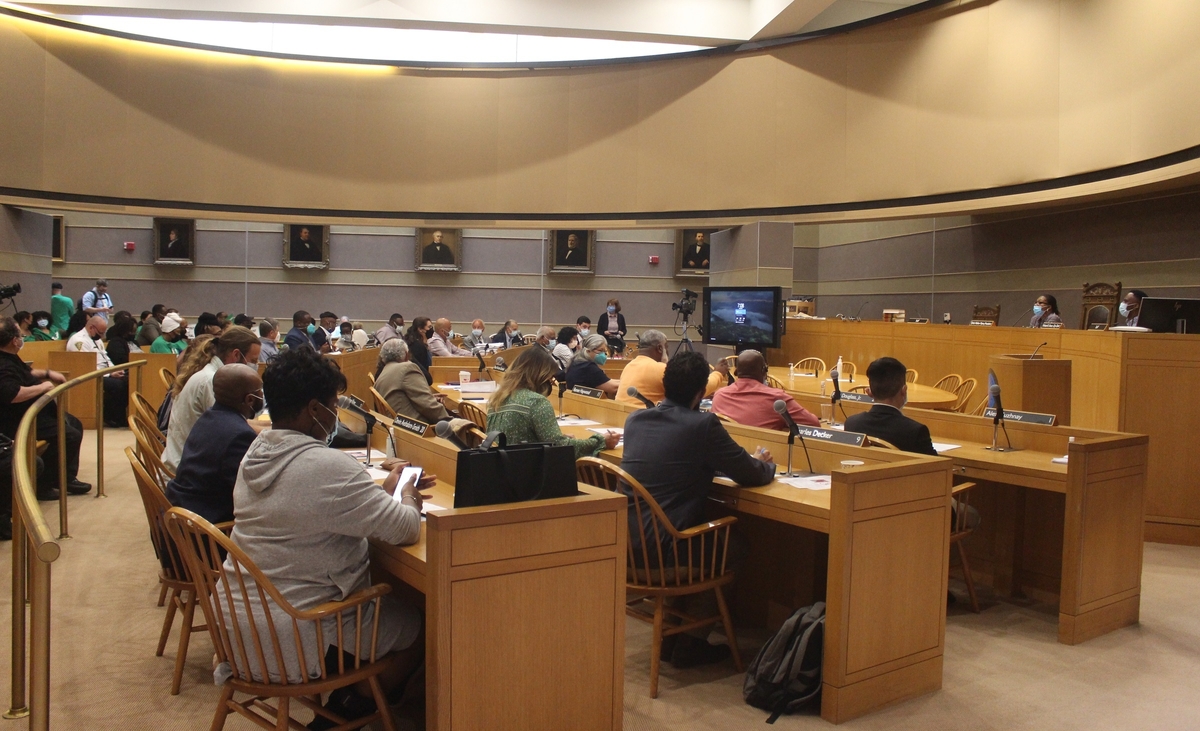
Monday night's full Board of Alders meeting.

Board of Alders map
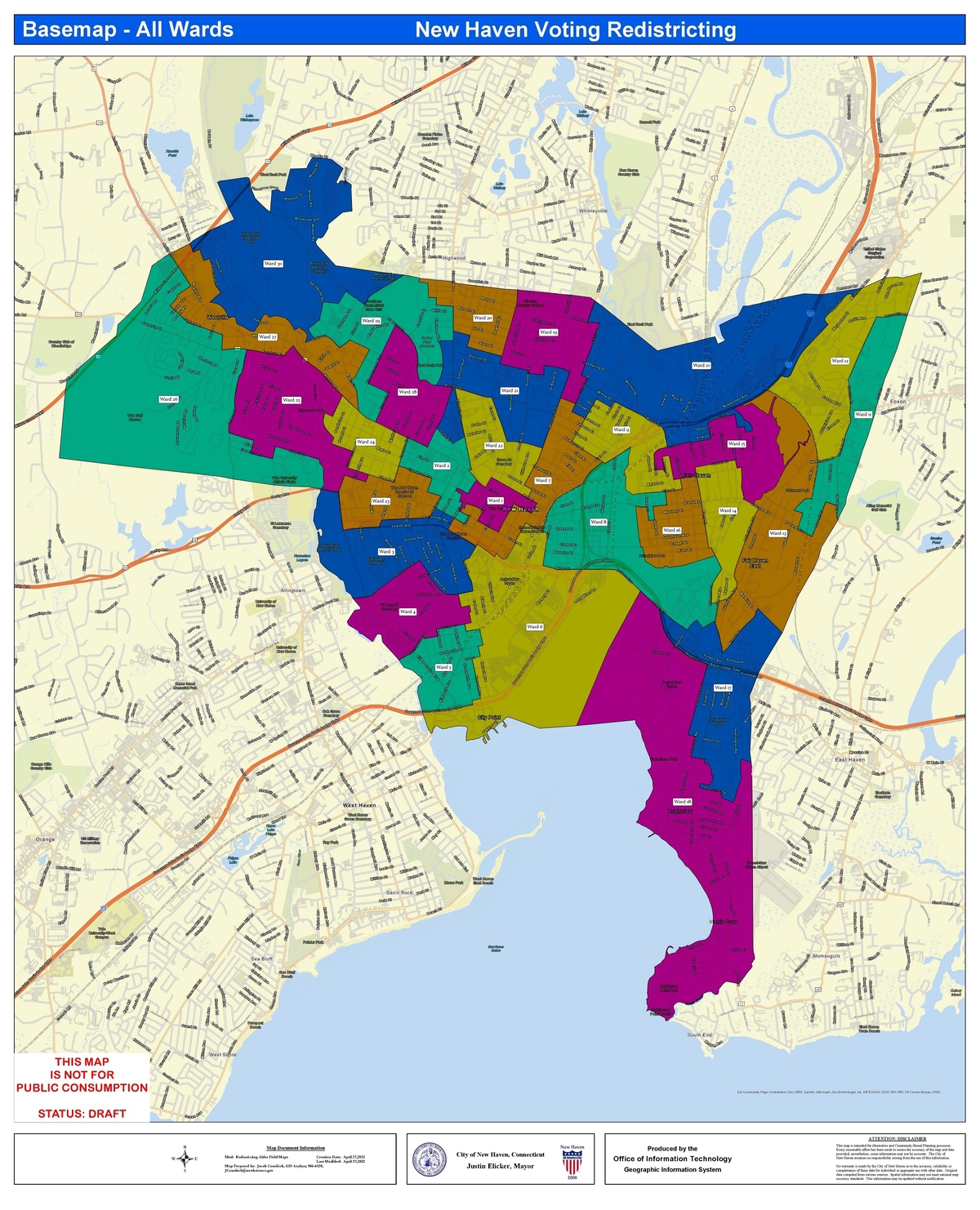
Newly approved redistricting map.
New district lines for the city’s 30 wards are now locked in for the next decade, now that the Board of Alders has voted unanimously to approve a redrawn map that accommodates New Haven’s recent Census-counted population growth.
Local legislators took that vote Monday night during a special in-person meeting held in the Aldermanic Chamber on the second floor of City Hall.
While a vast majority of the meeting was dedicated to deliberations and votes on next fiscal year’s budget, the alders also unanimously signed off on a final new redistricting map.
The map that the alders OK’d on Monday was exactly the same as the “least-change” map put together and favorably recommended by the Special Committee on Ward Redistricting earlier this month. It largely preserves the shapes and bounds of the city’s current 30 wards, with some tweaks around the edges to make room for the 4,244 new city residents counted during the 2020 U.S. Census.
Click here to view the now-approved final new ward lines in detail, and here to view the ward lines as they currently exist.
As Hill Alder and Redistricting Committee Chair Evelyn Rodriguez said on Monday, New Haven’s new official Census-counted population is 134,023, up from 129,779 a decade ago.
“The goal of redistricting is to ensure that every resident’s vote has the same weight by equalizing the number of residents in each ward,” she said. That means that an “ideal map” would have 30 wards with 4,467 residents each. With an acceptable spread of 5 percent above or below that ideal number, she said, the redistricting committee sought to draw ward lines that would leave each ward with between 4,243 and 4,690 residents.
The committee also sought to stick to such goals as keeping each ward in a single state assembly district, keeping as much of an old ward together as possible and moving the rest into as few new wards as possible, keeping current alders in their current wards, ensuring that wards are contiguous and reasonably compact, preserving “communities of interest,” and taking into account “geographic and political boundaries.”

Thomas Breen photo
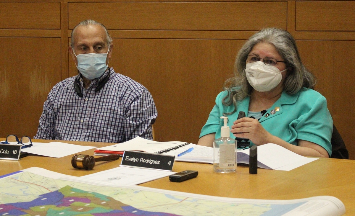
Redistricting Committee Vice-Chair Sal DeCola and Chair Evelyn Rodriguez at a recent committee meeting.
With these new redistricting lines, Rodriguez said, “We now have a balanced city map within the range of 4,243 and 4,690 residents” per ward.
Morris Cove Alder and Redistricting Committee Vice-Chair Sal DeCola pointed out that the new ward lines won’t actually take effect until 2024. Alders will finish out their current two-year terms in wards as currently drawn. Then, alders running for office in 2023 will run in the now-approved new boundaries.
The Board of Alders had until the end of May to sign off on a new redistricting map. If local legislators hadn’t met that deadline, then the mayor could have appointed a 15-person commission to change ward boundaries and the number of wards instead.
Click here, here, here, here, here and here to read previous Independent articles about this year’s redistricting process.
Ward 14 Will Still Cross 1 River, 3 Neighborhoods

Ward 14's current boundaries, unchanged in newly approved map.
While all 27 alders present wound up voting in support of the redrawn ward map, Sarah Miller of Fair Haven’s Ward 14 told her colleagues that she would be supporting the new lines “with some hesitation.”
She recognized the majority of alders is happy with the new map. And she acknowledged that the new map “achieves the technical goal of equalizing the number of residents per ward.”
“At the same time,” she continued, “I think it’s important to note some other goals that could have been advanced in this process, which unfortunately did not occur, at least in my neighborhood.”
At the top of that list, she said, is “improving alignment between neighborhood, state rep districts, and aldermanic wards in order to make it easier for people to vote and facilitate higher levels of participation in the democratic process.”
During the redistricting committee’s meetings, Miller campaigned to convince her colleagues to redraw Ward 14’s lines so that her district could remain entirely on the Fair Haven peninsula. Currently, the ward stretches across the Quinnipiac River and includes parts of three different neighborhoods: Fair Haven, the Heights, and the Annex.
Ultimately, Miller was unsuccessful in convincing her colleagues to sign on to those changes. Fellow Fair Haven Alders Ernie Santiago and Jose Crespo — whose Wards 15 and 16 abut Miller’s Ward 14 to the north and west — said they did not want to lose any ground on the southern and eastern edges of their districts on the Fair Haven peninsula.
“Fortunately, there are other processes available to us to advance the goal of higher turnout,” Miller said Monday night. “And I hope this is not the end of conversation around this topic.”

Redistricting Committee images
New ward-by-ward maps, with the red lines showing current ward boundaries, and the underlying color shading showing now-approved new ward boundaries, for: Ward 7 ...

... Ward 6 ...

... and Ward 22
Some of the changes included in the final redistricting map include:
• Ward 6, centered largely in the Hill, will take from Ward 7 the two blocks stretching from Chapel Street on the south, Court Street on the north, Orange Street to the west, and Olive Street to the east. Included in those blocks are the apartment tower at 360 State St., and the site of the planned new residential development at 78 Olive St.
• Ward 18, centered in Morris Cove, will take from Ward 17 a wide swath of New Haven’s industrial port in the Annex, stretching northwest from Woodward Avenue to Forbes Avenue.
• Ward 21 will take from Ward 22 several blocks of Mansfield Street and Winchester Avenue near the Yale hockey stadium and south of Munson Street.
• Ward 7 will stretch from its current northern border on Trumbull Street north to Cottage Street and Whitney Avenue. It will also give up a few blocks bounded by George Street, Dwight Street, South Frontage Road, and Park Street to Ward 3.
• Ward 26 in Upper Westville will take from Ward 25 several blocks bounded by Chapel Street, Alden Avenue, Roger Road, and Forest Road, while Ward 25 will extend east as far as Norton Street and Irving Street in West River.

New ward population data.


Less wards and fewer alders would make more sense to reduce physical boundaries for voters and to keep streets within wards together that share similar concerns and interests and demographics.